About TALONYX
TALONYX independently delivers aerial surveying and mapping, drone operations, remote sensing, GIS, spatial analysis and environmental data services. Where a project requires professional ecological interpretation, we work in support of the appointed ecologist or environmental consultancy—or, when TALONYX is leading the work, engage the most suitably qualified ecologist to support the project.
How we work
We work directly for clients or discreetly within multidisciplinary teams. Our role is to build coherent, traceable evidence—from collection and processing through to analysis, visualisation and repeat monitoring.
Government agencies and approval holders increasingly need defensible data, clear methods and repeatable reporting. TALONYX helps establish the spatial evidence needed to understand conditions, demonstrate change and support compliance without presenting itself as an ecology firm.
Technology will continue to change how environmental data is collected and analysed. TALONYX is designed to adopt useful advances while retaining the elements that cannot be delegated to software: fit-for-purpose design, field context, quality assurance, transparent limitations and accountability for the work delivered.
Current assignments are frequently undertaken under confidentiality and non-disclosure obligations. For that reason, this site describes representative capability and workflows rather than naming clients or projects.
Credentials
Extended specialist network
TALONYX draws on an extensive Australian and international network of subject-matter experts. We assemble support around the project question, engaging the people whose experience and technical discipline are the best fit for the evidence required.
Scoping, coordination and delivery support for multidisciplinary and technically complex work.
Specialist ecological input connecting species, habitat and landscape processes with spatial evidence.
Fit-for-purpose analytical, automation and quality-assurance support for complex environmental datasets.
Advanced spatial analysis, image interpretation, modelling and repeatable monitoring workflows.
Appropriately qualified specialists for targeted terrestrial, aquatic, marine and in-water investigations.
Specialist review and reporting support aligned with the project’s approvals, risks and decision needs.
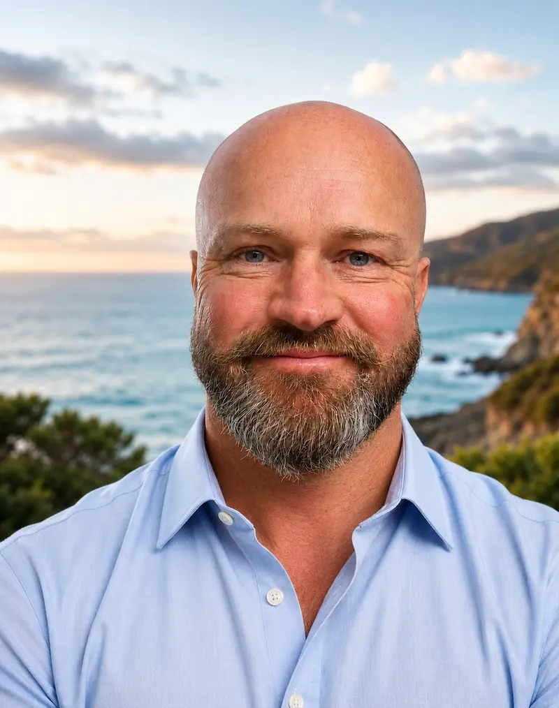
Founder & Chief Remote Pilot
James is the founder and Chief Remote Pilot of TALONYX. He brings more than 20 years’ experience across environmental consulting, field operations, project leadership, strategy and commercial advisory.
His work has included leading multidisciplinary environmental operations and advising boards, executives and investors on strategy, transformation and complex decisions. Through TALONYX, he combines that environmental and strategic background with drone operations, remote sensing, GIS and spatial analysis to create practical, decision-ready evidence.
James is a Graduate of the Australian Institute of Company Directors and brings a strong interest in the point where technology, environmental evidence and governance meet.
Operating area
TALONYX has two operating bases: one in South East Queensland and one in the NSW New England Tablelands. From these bases, we support projects throughout Australia and internationally through a flexible mix of field delivery, remote sensing, GIS, spatial analysis, data review and technical collaboration, with travel and on-ground requirements agreed during scoping.